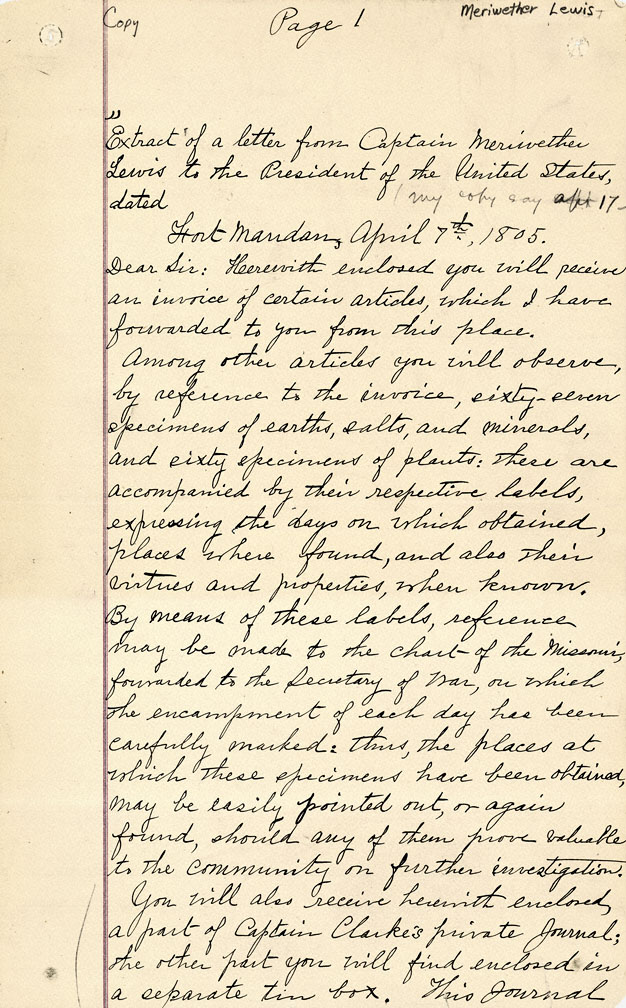
Captain Meriwether Lewis wrote this letter to President Thomas Jefferson in early April 1805 from Ft. Mandan, near present-day Washburn, North Dakota. It was hand-copied and the spelling corrected around 1901 by one of Lewis’s relatives for Eva Emery Dye, an Oregon City-based novelist who was doing research on the Lewis and Clark Expedition. This extended progress report gives a good sense of the Corps of Discovery’s mission, which included not only the advancement of science, but also of American geopolitical and commercial interests.
Lewis begins with a description of the scientific samples he was sending to the president together with a map of the country the Corps had already traversed, at the time only vaguely known to Americans. Lewis hoped that such information about the geography and natural history of the Missouri River country would be of value to the scientific community.
But scientists were not the only ones who would find such information useful. Lewis also noted that he forwarded to the Secretary of War “every information relative to the geography of the country which we possess, together with a view of the indian nations.” Jefferson had recently arranged for the “purchase” of what Americans and Europeans called Louisiana from the French. In order to exert American political dominance over this vast region, the government needed information about the area’s physical and cultural geography. A key mission of the Corps of Discovery was to gather this information, as well as to announce American territorial claims and to begin establishing American control over the Missouri trade system.
Finding the most economical route to the Pacific Ocean was another important goal, one meant to increase the commercial power of the United States relative to Europe. Lewis describes how the Corps intended to cross the Rocky Mountains and proceed down the Columbia River to the Pacific. The arduous journey took them longer than Lewis anticipated, however, and the Corps ended up wintering on the Columbia. Nevertheless, Lewis managed to meet with the president before the end of 1806, just a couple months after the September 1806 date he told Jefferson to expect him in Virginia.
Further Reading:
Ambrose, Stephen E. Undaunted Courage: Meriwether Lewis, Thomas Jefferson, and the Opening of the American West. New York, N.Y., 1996.
Ronda, James R. Lewis & Clark among the Indians. Lincoln, Nebr., 1984.
Written by Cain Allen, © Oregon Historical Society, 2004.


